Fife has lots of options for walking from two long distance paths (The Fife Coastal Path and Fife’s Pilgrims way, to historic paths and routes and core footpaths. We have highlight 4 that start from the Steading. There are some links to the wealth of information on walks in Fife.

Craighall Den

This is a gentle stroll from the steading into the village and back; you can always break your journey with a visit to a Cafe.

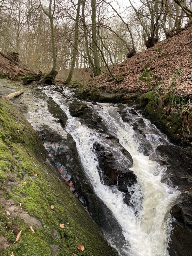
From our entrance you head around the back of the steading to access Craighall Den; we recommend starting with a small detour to the site of Craighall castle and the Limekiln – enjoy the view from the top then walk to the bottom to see how massive it is. Whilst there is a main path through the Den you can ‘explore as well’. About 500m from the steading turn left at No 9 Post – head down to the Lynn (a small waterfall) – you’ll need to retrace your steps. As the track drops down look for the two side-paths that take you closer to the burn.

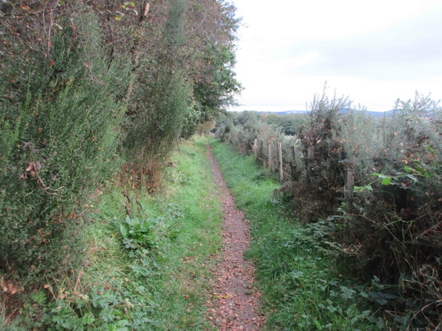
Continue following the Fife Walking’s route.  When you get to the end of the path at Anstruther Road it looks like you are in someone’s garden – don’t worry you’re not! You now have a choice you can either turn left and head to the museum and village centre for refreshments or right for your return journey back to the Steading.

Route @ fifewalking

Fife’s Pilgrims Way

Is a long-distance route connecting Culross in West Fife with St Andrews in East Fife using routes used by medieval pilgrims. The overall route brings together a network of existing paths, tracks, core paths and rights of way into a single journey across the heart of Fife. We recommend 2 options.

To St Andrews. From the Steading follow the track into the village then connect to the Pilgrims Way heading east over the Bishop’s Brig. This will add an extra mile to the journey making the total distance 10.5 miles. You can catch the bus back to Ceres from South Street.

To Bonnybank/Kennoway. From the Steading follow the track into the village then connect to the Pilgrims Way heading west along the waterless way; this will be a journey of 9-10miles. The last mile is on roadside footpaths, so we recommend finishing at Bonnybank and catch the bus back to Ceres. The alternative would be to catch the bus to bonnybank then walk back to Ceres.

Route @ fife walking Route @ Fife Coast and Countryside Trust

Hill of Tarvit

Whilst you are sitting having breakfast you can see in the distance the monument atop the Hill of Tarvit. This is the goal for this walk. From the summit you have all around commanding views of North and East Fife.

From the Steading follow the track into the village then connect with the waterless way in the village. Using Fife Walking’s guide follow the yellow route via Denhead Farm and the ford at Craigrothie.  Pause a while and explore the Mansion House (a NTS property) before following the red path to the 211m summit. Descend via the green route to Whitehill Farm before turning south on Moor Road back into the village.  Time for a well-earned refreshment – you have cafes, restaurant, pub or even a shop to choose from. From the village its then a gentle stroll back to the steading. This route is a little over 6 miles.

route @ fife walking

Moor Road

Starting at the Steading take a stroll through Craighall Den and then follow the road into the village. Follow North Croft Dyke alongside The Green dropping down to follow Ceres Burn to the rear of Meldrums. Turn left and walk though Bridgend. As the road to Cupar bears right carry straight on to Moor Road. You’ll soon pass the last few houses in Ceres.

Follow the relatively straight road over Ceres Moor. After you descend through Owlet wood you will see Cupar Golf Club and the cemetery on the left. As you start to enter Cupar you might tempt to stop at Fisher and Donaldson bakery. There are plenty of other great cafes and shops in Cupar. If you have some time, why not visit the Cupar Heritage Centre at the Railway Station. Your bus back to Ceres goes from the stop here. This route is little over 3 miles to the railway station.